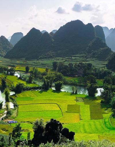
Hakusan Tedorigawa UNESCO Global Geopark
Located in central Japan, where it follows the Tedori River from Mount Hakusan down to the sea, the Hakusan Tedorigawa UNESCO Global Geopark records approximately 300 million years of history. Part of the geopark overlaps with the Mount Hakusan Biosphere Reserve, which was designated by UNESCO in 1980.
Celebrating Earth heritage
It contains rocks that were formed by the collision of continents. It also has strata containing fossils of dinosaurs which accumulated in rivers and lakes on land at a time when Japan was attached to the Eurasian continent. Volcanic deposits formed during the rifting process which separated Japan from the Eurasian continent about 15 million years ago, as the subducting plates pulled Japan eastward. More recent volcanic deposits date from the eruption of the still-active Mount Hakusan, one of Japan’s ‘Three Holy Mountains’. Rising 2,702 m above sea level, it records some of the highest levels of snowfall in the world for a mountain so close to the Equator. This heavy snowfall drives a water and erosion cycle that is continuously shaping the landscape.
The Hakusan Tedorigawa UNESCO Global Geopark encompasses a wide range of internationally significant fossils from the early Cretaceous Period, sourced from the Tetori Group, which is a significant geological layer widely spread across the Tedori River Basin. Within the area of the geopark, noteworthy fossils are found, in addition to the correlation between sedimentation and fossilization. Several regions in Japan house Mesozoic fossils, including the Tetori Group, which is distributed across the Hokuriku region comprising Fukui, Ishikawa, Toyama, and Gifu Prefectures. The most comprehensive concentration of the Tetori Group can be found at the Kuwajima Fossil Bluff within the Hakusan Tedorigawa UNESCO Global Geopark. Apart from the fossils themselves, the Kuwajima Fossil Bluff and the entire geopark provides a comprehensive setting to visualize the formation and exposure of sedimentary rocks and the enclosed fossils. The majority of sedimentary rocks are created through the processes of water eroding, transporting, and depositing sediment. This simple yet essential system is crucial for understanding the Earth's formation and can be distinctly observed in this confined region.
Sustaining local communities
The population of Hakusan City is 113,581 (as 2020). The geopark is actively involved in Education for Sustainable Development, in partnership with local schools. A notable collaborating organization called the Hakusan-roku Bunamori Nature School arranges monthly activities, engaging nearby elementary schools, community centers, and colleges to assist in carrying out different responsibilities. By collaborating with neighboring groups and residents, these partner organizations raise awareness of the geopark and provide opportunities for local community involvement.
Contact
- Tel: +81 76 274 9564
- E-mail: geopark@city.hakusan.lg.jp
- Postal address: Hakusan Tedorigawa Geopark Promotion Council
2 – 1 Kuramitsu, Hakusan, Ishikawa,
924-8688, Japan

