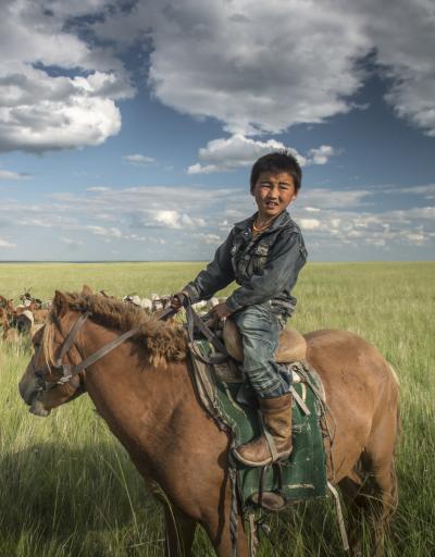
UNESCO/Toson-Khulstai Biosphere Reserve
Luquillo
General information
Situated in the Luquillo Mountains of Northeastern Puerto Rico, the Luquillo Experimental Forest (LEF) Biosphere Reserve encompasses five subtropical life zones (moist, wet, rain forest; lower montane wet and rain forest), spans nearly 1,000 m in elevation (120 to 1,074 m above sea level), and measures 11,331 ha (Weaver 2012; USDA Forest Service 2016). It is rich in biodiversity and home to thousands of native species, including 150 fern species and 240 tree species, 23 of which are only found within the reserve (USDA Forest Service 2016).
Detailed information
Key data
Year of nomination
1976
Country
United States of America
Total population
328686
Area
Surface
35,686.00 ha
Total terresterial area
35,686.00 ha
Location
Latitiude: 18.2695 - Longitude: -65.755
Contact
Ecosystem-based network
EuroMAB
Ecological Characteristics

The forests in the biosphere reserve are classified into four types. Vegetation in the lower elevations consists of the lower montane rainforest or the subtropical wet forests with the dominating tabonuco tree (Dacryodes excelsa). The montane thicket or lower montane forest occupies the gentle slopes above 600 meters elevation with the characteristic Colorado tree (Cyrilla racemiflora). Sierra palm (Prestoea acuminata) is associated with unstable soils and dwarf forests occupy the highest elevations.
Socio-Economics Characteristics
This Biosphere Reserve is situated in a region that, like much of the rest of Puerto Rico, has seen significant shifts in population and land use dynamics over the past century and longer. Originally nearly completely forested, the region had been almost entirely cleared for agricultural uses, including coffee, bananas, and subsistence farming by the early 1930s, while the peaks of the Luquillo Mountains were largely left untouched.As industrialization and economic development expanded across Puerto Rico, by the mid-1900s, a large part of the island’s converted lands had been abandoned and later returned to forest through natural regeneration, active planting, or both, including most of the lower elevations of the EYNF/LEF Biosphere Reserve (Birdsey and Weaver 1982; Lugo et al. 2004; Brandeis et al. 2007). Consequently, today, the Reserve is surrounded by a complex matrix of land covers and uses, including dense forest, coastline, agricultural fields, pastures, urban centers, and suburban sprawl.Eight municipalities share land and boundaries with the LEF Biosphere Reserve in Northeastern Puerto Rico. Together, they measure about 750 square kilometers (74,867 hectares) and are covered mostly by forest (43 percent), followed by pasture and agricultural lands (36 percent), urban area (10 percent), shrubland (6 percent) and wetland (3 percent).


